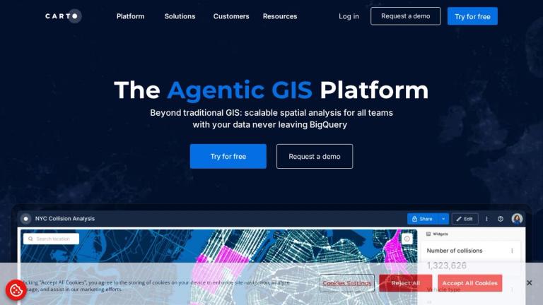
CARTO - The Agentic GIS Platform
CARTO is a cloud-native GIS (Geographic Information System) platform that goes beyond traditional GIS solutions. It provides scalable spatial analysis capabilities for all teams, enabling organizations to bring geospatial intelligence directly into their existing cloud ecosystem.
Key Highlights
- 100% Cloud-Native Architecture: Unlike traditional GIS tools, CARTO operates entirely in the cloud, eliminating the need for data silos, complex ETL pipelines, or governance compromises.
- Data Stays in Your Cloud: Your data never leaves your cloud environment (BigQuery, Redshift, Snowflake, Azure, Databricks, or Oracle), ensuring maximum security and compliance.
- Enterprise-Grade Trust: Trusted by world-leading organizations including Verizon, Coca-Cola, Ford, Unilever, AXA, Booking, and many more.
Cloud Ecosystem Integration
CARTO seamlessly integrates with major cloud platforms:
- Google BigQuery
- AWS Redshift
- Snowflake
- Microsoft Azure
- Databricks
- Oracle
This native integration allows teams to perform advanced geospatial analysis directly on their existing data infrastructure without moving data between systems.
Target Audience
Enterprise geospatial analysts, data teams, business intelligence professionals, and organizations requiring location intelligence at scale
Key Features
- 100% cloud-native GIS architecture
- Direct integration with major cloud data warehouses (BigQuery, Redshift, Snowflake, Azure, Databricks, Oracle)
- No data movement - data stays in your cloud environment
- Scalable spatial analysis for enterprise teams
- No ETL pipelines required
- Built-in data governance compliance
- Agentic GIS capabilities for automated spatial workflows
Use Cases
- Location intelligence and site selection analysis
- Supply chain and logistics optimization
- Real estate market analysis
- Telecommunications network planning
- Retail expansion and market analysis
- Risk assessment and insurance analytics
- Urban planning and smart city initiatives
- Environmental and sustainability analysis
Pros
- True cloud-native architecture eliminates infrastructure overhead
- Data never leaves your cloud - maximum security and compliance
- Seamless integration with existing cloud data warehouses
- Trusted by major enterprises across industries
- Scalable for teams of all sizes
- No complex ETL processes required
Cons
- Requires existing cloud data warehouse infrastructure
- May have learning curve for users new to cloud-native GIS
- Pricing not publicly listed - requires demo request
Pricing
Free trial available; enterprise pricing requires contacting sales for a demo